A city designed to be seen
Akragas was founded around 580 BCE by Greek settlers connected with Gela and Rhodes. It occupied a broad plateau between the rivers Akragas and Hypsas, protected by higher ground to the north and linked to a port near present-day San Leone.
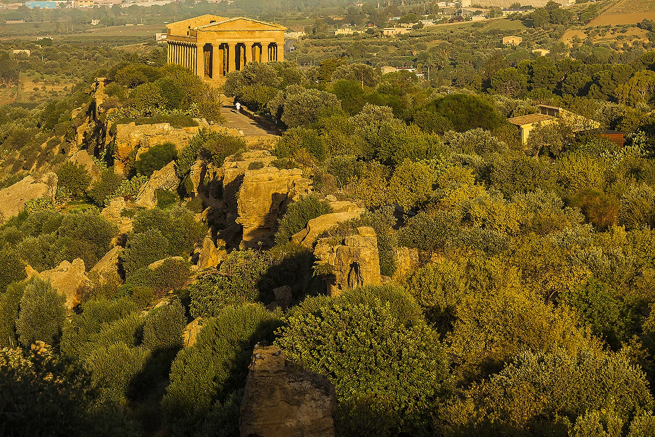
Between the sixth and fifth centuries BCE, the city became one of the leading Greek centres in the western Mediterranean. Agriculture, trade and control of the surrounding territory supported a remarkable programme of construction. Temples rose close to the southern fortifications, where the ridge offered both a sacred boundary and a monumental face visible across the coastal plain.
This was not a separate ceremonial park. Beyond the ridge stood streets, houses, public buildings, sanctuaries, defensive gates and burial grounds. Much of the ancient city remains beneath the fields and orchards that still give the site its unusual relationship between archaeology and cultivated landscape.
Conquest, recovery and transformation
Carthaginian forces captured and devastated Akragas in 406 BCE. The city later recovered, particularly from the late fourth century BCE, before passing permanently under Roman control in 210 BCE during the Second Punic War.
Roman Agrigentum remained an important regional centre. New public buildings and wealthy residential quarters developed farther north, around the area now occupied by the archaeological museum. In late antiquity, parts of the temple ridge became an extensive Christian cemetery, with tombs cut into the rock and earlier structures adapted to new purposes.
During the early medieval period, settlement gradually concentrated on the more defensible hill of Girgenti, where modern Agrigento developed. The ancient city was increasingly used for agriculture, while stone from some monuments was removed for later building projects.